 Venture OCVenture OC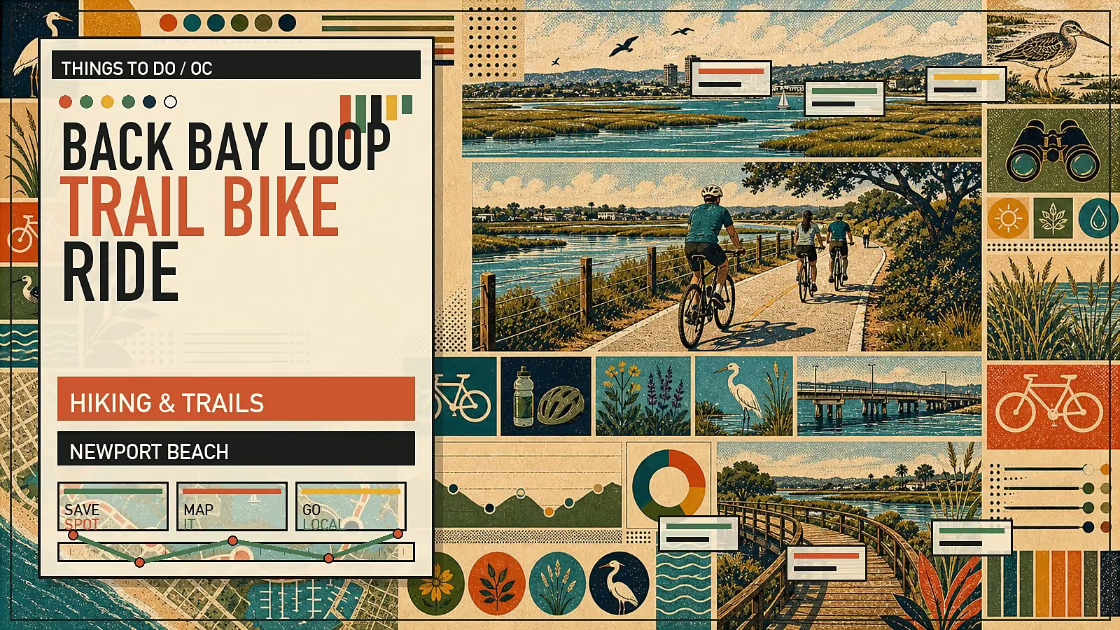
Easy multi-use ride or walk around Upper Newport Bay, with marsh views, birds, and flexible route length.
The Back Bay route is a multi-use outing around Upper Newport Bay, with marsh views, birding, paved sections, and multiple entry/exit points. Treat the route length as map-dependent rather than a single fixed mileage.
It is a practical way to experience Upper Newport Bay without needing a strenuous hike: water views, wetland habitat, and bird activity sit close to Newport's urban edges.
Choose your start point and map the loop before you go. OC Parks verifies Upper Newport Bay as a nature preserve/ecological reserve area with no fees listed at the time of this update, but route mileage varies depending on how much of the bay loop you include.
Do not treat the mileage as universal. Some mapped versions of the Back Bay loop are longer, and practical distance depends on where you start, how much road-adjacent riding you include, and whether you turn around early.
Start with an official map, then choose a shorter out-and-back or a fuller loop based on time, wind, and comfort with road-adjacent sections.
Ethan Hauptli is a California-licensed REALTOR® (CA DRE #02191280) at Real Broker (CA DRE #02022092). This editorial content is published by Venture: Orange County and is not a solicitation for the purchase or sale of any specific property. Information is general and does not constitute real estate, legal, financial, or tax advice. Consult a qualified professional before making decisions.